The Icknield Way runs through Houghton Regis, Wingfield, Toddington, Fancott & Sundon. At Luton Road the main route diverges with the ‘Toddington alternative’ continuing into the village centre passing Conger Hill.
There are two websites describing the different aspects of the route. The Icknield Way path describes the route for walkers and sells the excellent guide book. The Icknield Way Trail website describes the route for riders (off road cycle and equestrians). Where possible for clear signage the routes coexist (like past Chalgrave golf course) but at other places the trail and path have to diverge so that the riders remain on bridleways, byways and quieter roads.
The Icknield Way Walkers’ Guide is an excellent guide to the route. I have copies of the guide for sale in Toddington, so you can buy without the cost of post/packaging. Email me

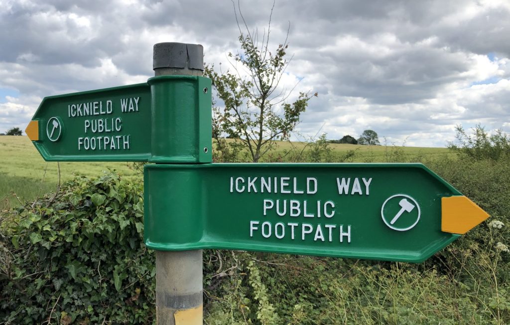
This direction sign is located behind Toddington library. A circular walk using the Icknield Way from Toddington to Sundon Hills and Sharpenhoe Clappers is available on the walks page. The Monmouth Way linear walk links to the Greensand Ridge walk at Eversholt is also available on the walks page.

I replaced many of the faded Icknield Way direction arms over the summer of 2020 from Whipsnade to Sharpenhoe. Over the winter a CBC contractor has replaced the rotten sign posts and replaced the remaining arms.
The map below shows the Walking, Equestrian and Off Road Cycle route. Click on the map for the respective routes to identify where they diverge and zoom in to see the detail.
As result of all the building work at Houghton Regis the route of the Icknield Way path has changed slightly. See details on Icknield Way path. I have added replaced all the waymark discs and added some additional temporary signs to highlight to new route.
The Icknield Way consists of a series of routes the following websites include the ability to download the GPX files: equestrian route, mountain biking and walking route.
